I received a comment, that the blog painted an interesting picture of where I’d ridden.
Using the map on the activities page of VeloViewer, I was able to put together the following image, encompassing all my rides, since I began recording them. Unlike Strava’s heat maps, all rides are given equal visibility on the VeloViewer map, so you can see at a glance how widely you’ve rolled:
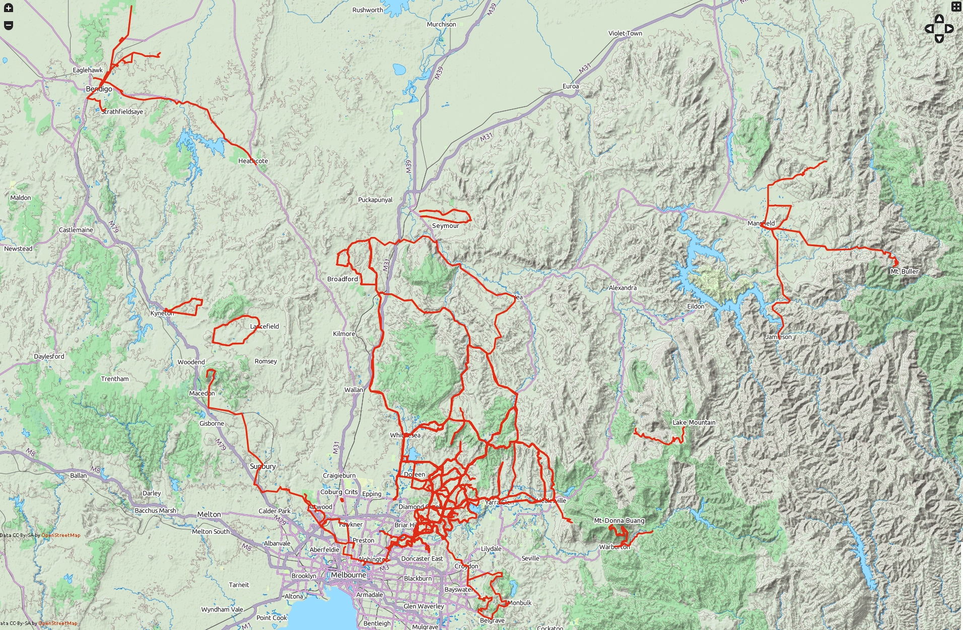
My cycling routes: Oct 2012 – December 2013. That’s right, I’ve never been to Beach Rd! (click to enlarge)
Hopefully a fuller and more routine exploration of the Alps and Dandenongs in 2014, along with staple training in the Kinglake Ranges, and races in northern locales.


